On June 14, Squaw Creek rose to flood stage. On the same day, nitrate concentrations in Squaw Creek dropped from 11.8 mg/L to 2.7 mg/L. Does that mean that June’s storm clouds had a silver lining for Iowa’s nutrient reduction efforts? I’m afraid not.
The nitrate concentration in a river is an important number if (like the Des Moines Water Works) you’re treating it for drinking water and need to stay below 10 mg/L. However, when it comes to hypoxia in the Gulf of Mexico, the number that matters is the nitrate load that is sent downstream: the nitrate concentration in the water times the flow of water in the river.
Data from nitrate sensor installed in Squaw Creek at Moore Park in Ames. Courtesy of IIHR. https://iwqis.iowawis.org/
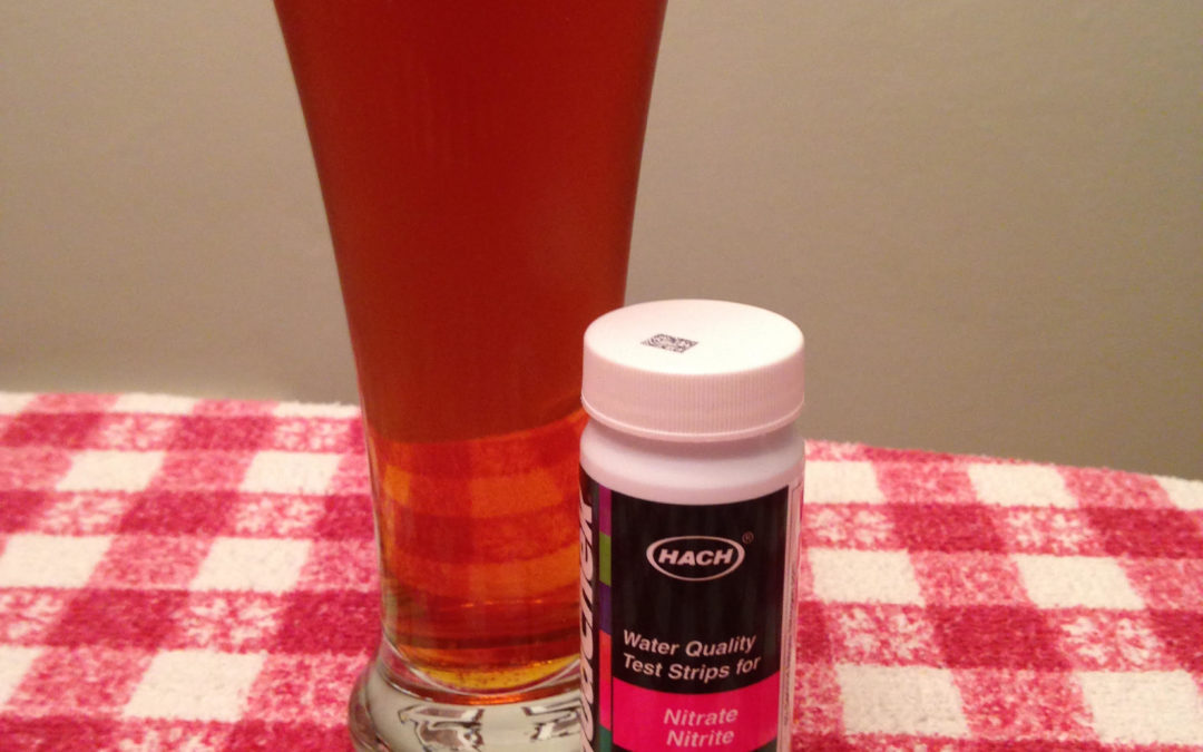
Not following me? Ponder this analogy. Nutrient loading is like beer. I enjoy craft beer and have learned to pay close attention to the alcohol by volume number, which can range from 5% in a lager to 10% in an imperial IPA. In order to avoid having my judgement impaired, I need to monitor both the strength of my drinks, and the number of drinks consumed over an evening. In the same way, to avoid having our downstream waters impaired, we need to monitor both the concentration of nitrate in a river and the flow of water in the river.
Here are some examples of nitrogen loading from our monitoring station in Squaw Creek at Lincoln Way. As you can see, most of the nutrient losses happen when streams are high and drain tiles are running, and that’s consistent with the research, which has found that up to 97% of nitrate losses and 98% of phosphorus loading happens when flow is above the median. With weather playing such a big role, it’s clear there’s no easy answers to water quality. Applying the right amount of nutrients, preventing nutrient loss through cover crops, and using edge-of-field practices to intercept nutrients from drainage water… it all needs to be on the table.
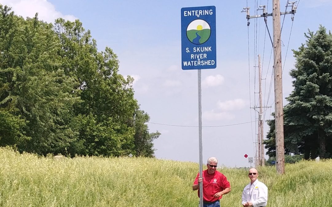
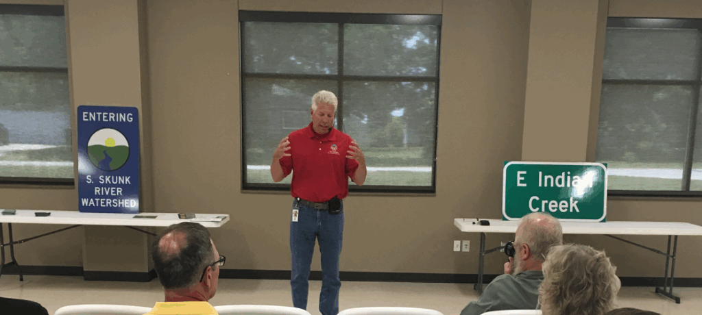
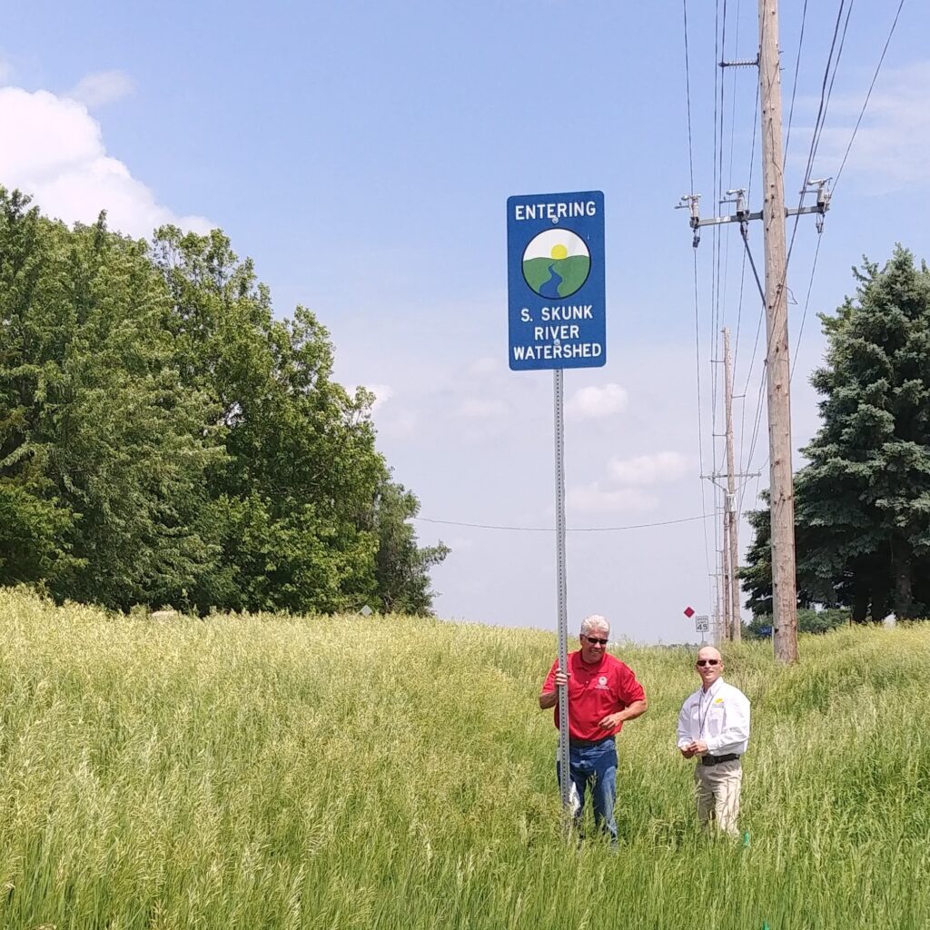
Story County roads now have 50 signs marking the boundaries between watersheds. Another 105 signs label creeks at bridges. As you drive around Story County, we hope you will have a renewed appreciation for its many creeks and rivers. We hope the watershed signs will help make visible the subtle divides between watersheds and get people thinking about the connections between land stewardship and water quality.
Prairie Rivers of Iowa designed and ordered the signs, identified locations, and researched best practices. Staff with Story County Conservation and the Iowa Department of Transportation put them up. Funding for the project was provided by the Story County Board of Supervisors, Story County Conservation, the Story County Community Foundation, and the Story County Soil & Water Conservation District. Watch the video from the June 6, 2018 press conference to hear from these organizations and learn more about the project.
Similar efforts around the state have helped to draw attention to our water resources and spur interest from landowners in conservation practices, but Story County’s effort was perhaps unprecedented in scale, and one of only a few projects to mark watershed boundaries in addition to creek crossings.
You can find the locations of all the signs that were installed for this project at this interactive web map. Want to know what watersheds you live in? Enter a street address in the search bar and then click on the map to bring up the complete “watershed address” for any point in Iowa using our Watershed Locator Map.
County Supervisor Rick Sanders and County Conservation Director Mike Cox pose with a watershed sign.
Does the State Revolving Fund (SRF) do infomercials for its Clean Water Loans? I think they should because SRF Sponsored Projects are a classic case of “buy-one-get-one-free.”
We usually focus on conservation efforts by farmers but today let’s give some credit to the municipal wastewater departments—they do a lot to keep our rivers clean. As a nation, we’ve generally been more successful in regulating and treating the pollutants coming out from sewage treatment plants and factories than we have been in dealing with the pollutants that wash off of farm fields, turf grass and parking lots. We’ve now reached a point where the water coming out of the local sewage treatment plant is cleaner in some respects than the water in the backyard creek. I’m not kidding: Ames Water and Pollution Control can’t exceed 126 E. coli colonies per 100mL in their treated effluent—E. coli levels in Squaw Creek for 2016 were eight times higher.
Repairing an aging sewer system or installing a UV disinfection system to meet permit requirements isn’t cheap. This year, the City of Gilbert will be borrowing $3.8 million from the State Revolving Fund (SRF) to upgrade its lagoons and the City of Ames will be borrowing $21 million to prevent inflows to its sanitary sewer system. With that necessary expense comes an additional opportunity to clean up Squaw Creek. A city can apply to do SRF Sponsored Project of up to 10% of the wastewater loan principal, and have the project cost offset by reduced interest rates. Eligible projects include “green infrastructure” in town, conservation practices on farmland in the watershed, or erosion control and ecological restoration along the stream.
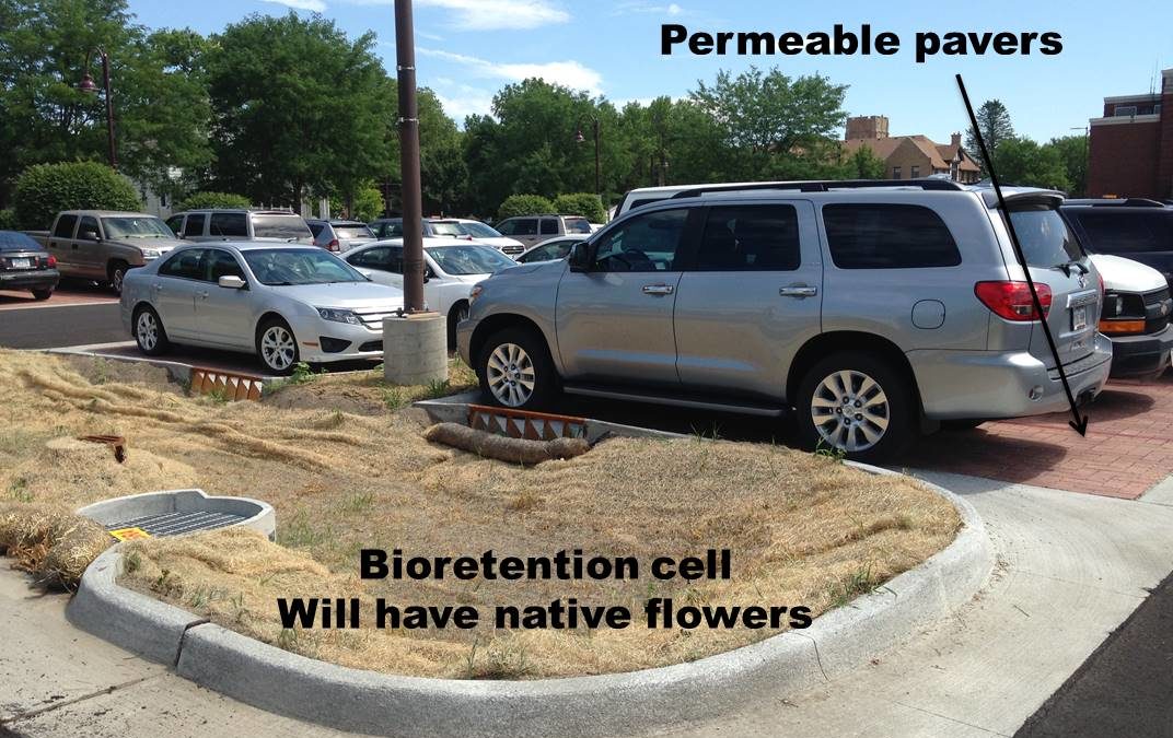
Ames has done SRF Sponsored Projects before, so on Monday I joined staff from Gilbert, Fox Engineering, and IDALS to hear from Ames Stormwater Specialist Jake Moore and get some ideas for projects. Paved surfaces like parking lots can contribute to erosion, flooding, and water quality problems, because the rain that falls on them rushes via storm sewer to our waterways. Modern ordinances require that more stormwater be detained and treated on site, or allowed to soak into the ground rather than running off the surface. Ames rebuilt the city hall parking lot last year to absorb water. The parking stalls are permeable pavers. Up to 27 inches of stone underneath provides storage space for water after big storms to mitigate flooding. Compost amendment to the landscaped areas around the building increase soil permeability and promote healthy vegetation. The site was recently planted with the help of Ames High School students, so check back—over time the moisture-tolerant native plants in the bioswales should fill in and bloom, attracting butterflies.
Cool project, right? Prairie Rivers of Iowa is eager to partner with Gilbert, Ames, and other towns in the Squaw Creek and South Skunk watersheds to help facilitate water quality practices both in town and on farmland.
How do we reconcile good recreation with poor water quality? How can we work together to improve water quality in the South Skunk River? These are some questions I hope you will discuss with me at McFarland Park this Friday (Feb 9) at 5:30PM
The good: paddling! The portion of the South Skunk River that flows through Story County* will be dedicated as a water trail this year. Story County is lucky to have a river with so many acres of protected natural areas and with such well-marked public access points. A lot of work over the years by a lot of dedicated conservationists has made that possible.
Skunk River Paddlers trip in 2015
The bad: water quality! This stretch of the South Skunk is on the impaired waters list due to high levels of E.coli bacteria, an indicator for fecal contamination.
The ugly: rivers in the rest of the state aren’t any better. There are over 400 river/stream segments on the Iowa Impaired Waters List due to E coli. That understates the problem—thanks to budget constraints, our state’s abundance of rivers, and a state law that limits what data can be used for regulatory determinations, 1040 river/stream segments weren’t assessed by the DNR at all.
Here’s a classroom analogy. Of the 426 stretches of river that sat the test in 2016, only 9 passed. Under a proposed change to the scoring, 31 more could have passed, prompting misguided** concerns about grade inflation. The South Skunk River would have failed either method, but graded on a curve, it would have been in the cleaner half of the class. Squaw Creek was not allowed to sit the test because of Iowa’s Credible Data Law, but would have scored in the dirtiest quartile.
As a paddler, I have to say that getting sick from something in the water is not a big safety concern for me—when I’m on the river I’m more concerned about strainers and low-head dams. I don’t want to over-react to the water quality data and deny my kids the canoeing, fishing, and frog catching experiences that I enjoyed when I was growing up. Based on the data I’ve seen, the E. coli levels in the South Skunk haven’t gotten worse since then.
Still, if you’ve heard from people who have gotten badly ill from a waterborne illness, you know it’s something to take seriously. The milder cases are under-reported; who’s to say the stomach distress I attributed to a bad burrito wasn’t really a case of Campylobacter that I swallowed when I tipped my canoe.
Unfortunately, there doesn’t seem to be a good way to put those health risks into perspective. The state standard of 126 E. coli colony forming units (CFU)/100mL is based on solid epidemiological studies of freshwater beaches, and corresponds to a defined level of risk: 36 people per 1000 swimmers will get a diarrhea after spending the day at the beach. However, the experts I spoke to said you can’t extrapolate those water quality-illness relationships into truly dirty water. Squaw Creek had a geometric mean almost ten times higher than the standard in 2016. Does that mean that your risk of getting sick from swimming in it is ten times higher? Definitely not. Twice as high? I have no idea.
If you want some good bedtime reading to understand why this stuff is so complicated, check out this EPA study on Quantitative Microbial Risk Assessment. Here are some takeaway points.
E. coli isn’t usually what makes you sick. It’s an easy-to-measure proxy for other pathogens carried in contaminated water, like Cryptosporidium, Campylobacter, E. coli 157, and Salmonella.
Whether you get sick depends on what kind of feces are in the water. You are more likely to get sick from ingesting water contaminated by a human waste (i.e. a leaky septic system) than you are to get sick from water contaminated by cattle manure. Swine manure is less dangerous than cattle manure, but there’s a lot more of it spread on the land. You are unlikely to get sick from poultry manure or geese droppings, since these animals are not as closely related to us.
Whether you get sick depends on the dose you ingest—a child swimming is more likely to swallow water than an adult fishing. You are more likely to swallow water while rolling your kayak than splashing yourself while canoeing.
Whether you get sick depends on your body’s response to the pathogen. Children, the elderly, and people with a compromised immune system may be at higher risk.
The good news is that it is possible to clean up water impaired by bacteria. Can we do it for the Skunk River? Let’s talk about it! Hope to see you on Friday.
*As Alan Spohnheimer proved in a recent talk, the Hamilton County portion of the South Skunk is also fun to canoe, you just have to be more adventuresome when it comes to access points and portages.
**All opinions expressed in this blog post are those of the author and do not reflect the views of Prairie Rivers of Iowa or its funders. But seriously, if you consider how easy it is for a river to exceed the single sample limit (i.e. a raccoon in a culvert near the sample site), how long it takes for a river on the impaired list to get a TMDL completed, and how little power regulatory agencies have to control non-point sources of bacterial contamination, the DNR’s proposed change did not merit the outrage.
I’ll take some cover crops with a prairie filter strip on the contour, a side-dressed nitrogen application, a grassed waterway, and riparian buffer strip. Hold the soil, please.(more…)